Discover insights, tips, and stories from the skies — from aircraft buying guides to pilot training.


Published: September 14, 2025
Meta Description: Here are the top 15 navigation instruments in aircraft that help pilots stay on course, maintain altitude, and fly safely with precision.
Tags: General Aviation, Flight Training, Aircraft Types
Every airplane in the sky depends on something more than strong engines or sturdy wings—it depends on navigation instruments in aircraft. These tools help the pilot know where they are, how high they’re flying, and which way they’re going. Without them, flying safely would be almost impossible.
Today, satellite-guided LPV approaches have become so common that they now outnumber traditional ILS approaches in the U.S. by nearly three to one, showing how much navigation has advanced.
Just picture traveling thousands of miles through clouds or darkness. You can’t see roads or signs. That’s why aircraft need precise tools to show their flight path and directional heading. These tools don’t just tell pilots where to go—they help them understand how the plane is performing in real time.
In the next few sections, we’ll see how pilots used to find their way, what tools they used before modern computers, and how those early systems evolved into today’s smart navigation technology that fills every instrument panel.
Flying an aircraft is different from driving a car. There are no street signs, road maps, or lanes up there—only sky. So, how do pilots know where they are and how to get where they’re going? The answer lies in a special group of tools called aircraft instruments.
These instruments give the pilot constant updates about the airplane’s position, altitude, speed, and direction. Together, they form what’s known as the six basic or basic flight instruments. Here’s a closer look:
These navigation instruments work together under instrument flight rules (IFR), where a pilot must fly using only their instruments—no visual cues. For example, during instrument flight, the pilot depends on the heading indicator, VSI, and altimeter to stay stable.
Each dial or indication tells part of the story. The primary flight display in newer aircraft combines many readings on one screen, showing navigation information like aircraft heading and rate of climb.
Even today, pilots still cross-check their magnetic readings with the directional gyro to stay accurate. A good pilot never trusts just one indicator—they compare them all for the clearest picture.
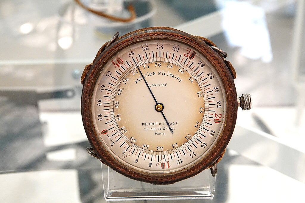
Before GPS and digital screens, early aviators relied on simple tools and their senses. The first major device was the magnetic compass, which pointed north and guided direction. However, flying wasn’t easy. Clouds, storms, and night flights made it nearly impossible to see landmarks.
That’s when pilots began using navigational aids to improve safety. In the 1920s, radio signals started helping with long-distance travel. The VOR (VHF Omnidirectional Range) system became a major breakthrough, sending radio signals that showed direction from a ground station.
Other early systems included:
Pilots used to study charts that showed navigational beacons and airways. Flying under IFR meant they followed invisible highways made of radio signals instead of roads.
Each early flight instrument was mechanical, relying on air pressure or static pressure instead of electronics. They were built inside a sturdy instrument case to handle vibration and temperature changes.
In older planes, a gyro powered by air or vacuum kept the attitude indicator and directional gyro spinning. The rate of climb and rate of turn were tracked using these small moving parts. It was a careful balance of skill, patience, and trust in the instruments.
Even though technology was basic, these early tools made it possible for long-distance instrument flight—something that changed aviation forever.
Today’s aircraft use advanced systems that combine traditional tools with powerful computers. These aircraft instruments are no longer separate dials. They work together in a digital display called a primary flight display. This modern screen shows altitude, airspeed, aircraft heading, and even rate of climb all in one place.
Modern gyroscopic and electronic flight systems are precise and easy to read. The old spinning gyro has been replaced with sensors that send digital data instantly. For example, the attitude indicator and heading indicator now use gyroscopic instruments and electronic sensors to detect movement.
Many planes use the Global Positioning System (GPS) and inertial navigation systems (INS). These systems track position by combining satellite data and motion sensors. Even if a satellite signal drops, the INS can calculate the plane’s path based on how it moves.
Modern systems also include:
Newer systems reduce errors by constantly comparing static and pitot-static readings. These computers analyze air pressure, barometric pressure, and even wind data to give accurate indication of altitude and speed.
Modern cockpits also make instrument flight easier. Instead of checking several dials, the pilot sees everything in one glance. The data from the static system, VSI, and altimeter are blended with navigation information from the GPS and radio signals like the ILS and VOR.
Flying today is safer and smoother thanks to these smart systems. While the basics remain—the attitude indicator, altimeter, and airspeed indicator still guide every flight—the way they connect has evolved. Pilots can now fly long routes, even across oceans, with confidence in their electronic flight systems.
Flying might look peaceful from the ground, but inside the cockpit, every second counts. Pilots depend on special tools that work together to keep the airplane on course, at the right height, and moving at the correct speed.
These tools, called navigation instruments, give constant feedback to help pilots make safe decisions.
| # | Instrument Name | Main Function | Key Details / Importance |
| 1 | Magnetic Compass | Shows direction based on Earth’s magnetic field | Works without electricity; used to check other direction tools; can lag during turns. |
| 2 | Heading Indicator | Displays aircraft heading in degrees | Uses a gyroscope; more stable than the compass; needs resetting every 15 minutes. |
| 3 | Attitude Indicator (Artificial Horizon) | Shows pitch (nose up/down) and bank (wing tilt) | Uses gyroscopic systems; key for flying in clouds or darkness when the horizon isn’t visible. |
| 4 | Altimeter | Measures altitude (height above sea level) | Uses barometric pressure; part of the pitot-static system; shows height in feet. |
| 5 | Airspeed Indicator | Measures speed through the air | Works through the pitot-static system; includes different types of airspeed—indicated, true, and ground speed. |
| 6 | Vertical Speed Indicator (VSI) | Shows climb or descent rate | Uses static pressure changes; measures feet per minute; helps maintain level flight. |
| 7 | Turn Coordinator | Indicates rate and coordination of a turn | Uses a gyro to show turn rate; ball shows balance; used for making a standard rate turn. |
| 8 | Directional Gyro | Maintains accurate heading reference | Provides smooth direction reading; checked against the compass for accuracy; useful in turbulence. |
| 9 | Horizontal Situation Indicator (HSI) | Combines heading and navigation data | Integrates VOR and ILS information; simplifies instrument flight by reducing workload. |
| 10 | Flight Director | Guides the pilot visually along the correct flight path | Works with autopilot; displays command bars on the primary flight display; ensures smooth navigation. |
| 11 | VOR Receiver | Tracks radio signals from ground stations | Shows if aircraft is on course or off-track; vital for navigational fixes and training. |
| 12 | ILS (Instrument Landing System) | Helps pilots land accurately in low visibility | Uses two radio beams: localizer (sideways) and glideslope (vertical); essential for instrument flight rules (IFR). |
| 13 | Inertial Navigation Systems (INS) | Tracks position without external signals | Uses motion and rotation sensors; continues navigation if GPS fails; ideal for long flights. |
| 14 | Global Positioning System (GPS) | Provides exact global position using satellites | Calculates location and speed; main modern navigation tool; updates position in real time. |
| 15 | Engine Instruments | Monitor engine performance and efficiency | Show oil pressure, temperature, and fuel flow; ensure safe power and flight performance. |
Here is a more detailed look at the 15 navigation instruments in aircraft that make flying safe and accurate.
The magnetic compass is one of the oldest and most reliable navigation tools. It always points toward the Earth’s magnetic North Pole, helping pilots know which way they’re heading.
The heading indicator helps a pilot stay on course by showing the airplane’s direction in degrees. It uses a small spinning wheel, or gyroscope, that stays steady even when the airplane moves around.
The attitude indicator, also called the artificial horizon, shows how the airplane’s nose and wings are positioned in the sky. It displays pitch and bank, which tell the pilot if the plane is climbing, diving, or turning.
The altimeter measures how high the airplane is above sea level. It works by comparing outside air pressure to a reference barometric pressure set by the pilot before takeoff.
The airspeed indicator shows how fast the airplane moves through the air. It’s powered by the pitot-static system, which measures the pressure difference between moving air and still air.
The VSI shows how quickly the airplane is climbing or descending. It measures changes in static pressure and turns that into a reading in feet per minute.
The turn coordinator shows how the airplane is turning and if it’s balanced. Inside, a small gyro tilts and moves as the airplane turns.
The directional gyro is similar to the heading indicator but designed for more accuracy in some aircraft.
The HSI combines navigation and direction information into one easy display.
The flight director acts like a digital helper for the pilot. It gives simple visual cues that guide climbs, descents, and turns.
The VOR (VHF Omnidirectional Range) receiver uses radio signals from ground stations to show direction.
The ILS helps pilots land safely when visibility is poor or during bad weather.
Inertial navigation systems track an airplane’s movement using sensors that measure acceleration and rotation.
The Global Positioning System uses a network of satellites orbiting Earth to find exact positions.
Engine instruments may not seem like navigation tools, but they are essential for safe and efficient flight.
In a modern cockpit, many of these instruments appear together on digital screens. The primary flight display and multi-function display show key information like altitude, airspeed, and course—all in one place. The data from sensors like the pitot-static system and gyroscopic instruments feed into these displays automatically.
During instrument flight, a pilot constantly checks these tools to stay safe and on course. If one instrument gives odd readings, others help verify the truth. For example:
When used together, these instruments give the pilot a complete picture of the airplane’s situation. They show what’s happening, what’s changing, and what action is needed—all in real time.
Every safe flight depends on accurate information. Every tool in the cockpit tells a story about safety and precision.
The navigation instruments in aircraft help pilots track their path, speed, and altitude with confidence. From the simple magnetic compass to advanced digital systems, each instrument plays a part in helping pilots stay in control. These fifteen tools have evolved over time, but their goal is the same—to help pilots fly confidently through every sky!
As technology grows, navigation keeps getting smarter and safer. The next time you see an airplane overhead, you can imagine all the tools at work inside that cockpit—each one helping the pilot stay on course.
For more aviation tips and insights, visit Flying411 and keep learning about the world of flight!
They are the airspeed indicator, altimeter, attitude indicator, heading indicator, turn coordinator, and vertical speed indicator.
It measures how high the aircraft is above sea level using barometric pressure.
Pilots use the heading indicator and magnetic compass to stay on the correct course.
GPS uses satellites to find location, while INS calculates position based on aircraft movement.
It helps pilots land safely when visibility is poor by guiding them to the runway electronically.
